Greenwich Low Emission Neighbourhood
Active Dates:
March 2019
- April 2019
Number of Project Partners: 1
Number of Project Partners: 1
CRP Project Lead: Fiona Coull
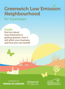 CRP is engaging with businesses in the Greenwich Low Emission Neighbourhood on cargo bike trials, workplace travel planning and new loading restrictions along Trafalgar Road. A short delivery consolidation survey is being completed together with businesses to provide the Council with a better understanding of current delivery patterns and consolidation potential, thereby reducing the amount of traffic on local roads.
Project Partners